Descripción
Low difficulty circular path given its short length and low gradient. However, the surface is very slippery, so it is not considered suitable for wet ground.
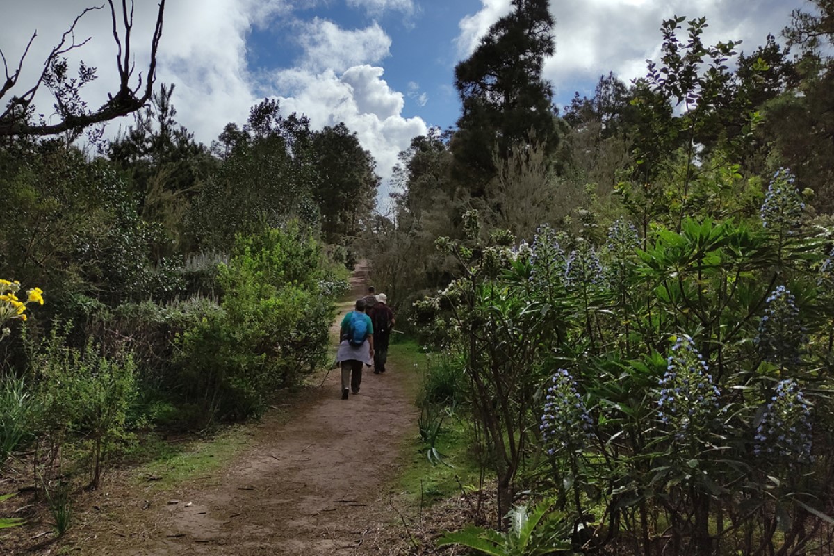
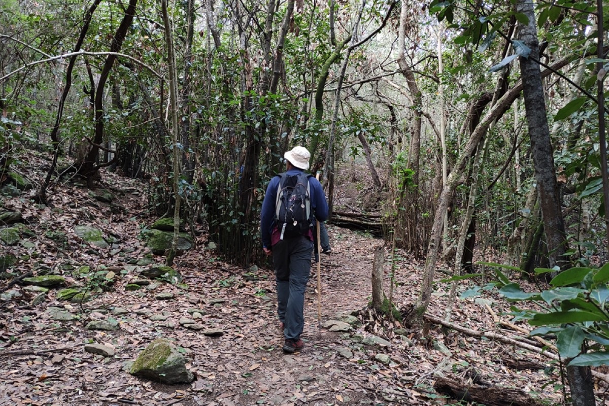
It runs through the El Brezal Rural Park (C-03), in the municipality of Santa María de Guía, so the predominant vegetation is heather. There are also centenary Canary Island pines, eucalyptus, fayas and strawberry trees. A large part of the route is in a wooded area, so there is plenty of shade.
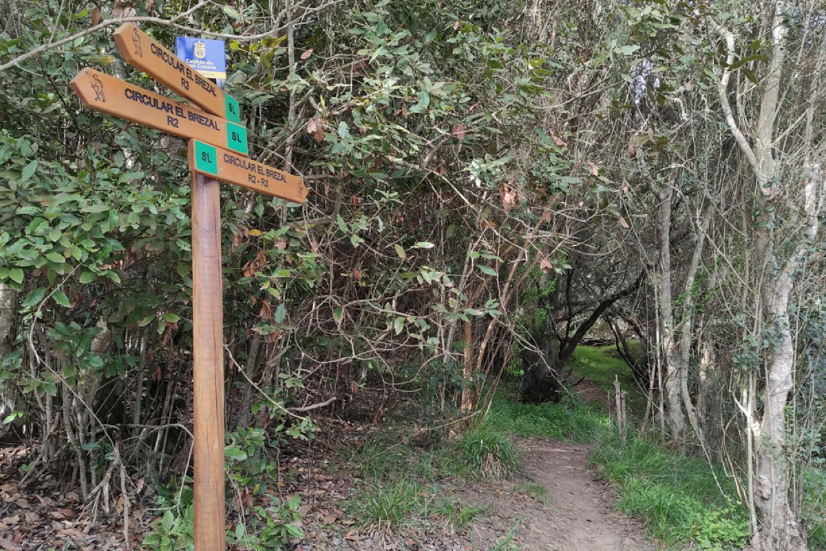
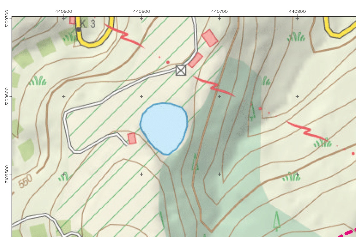
It is an area with numerous crossed paths that make it easy to lose the route since it lacks signposting, so the use of GPS is required to be able to do it or to have good spatial orientation.
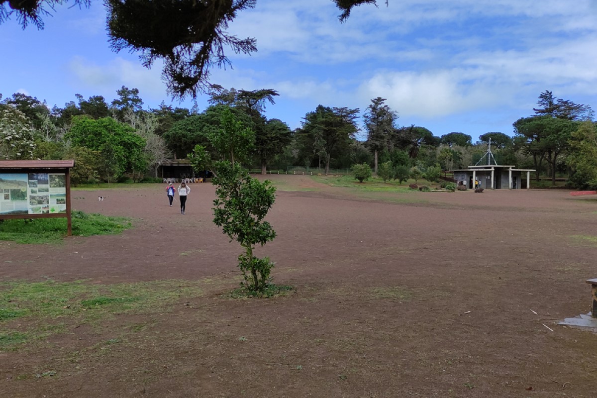
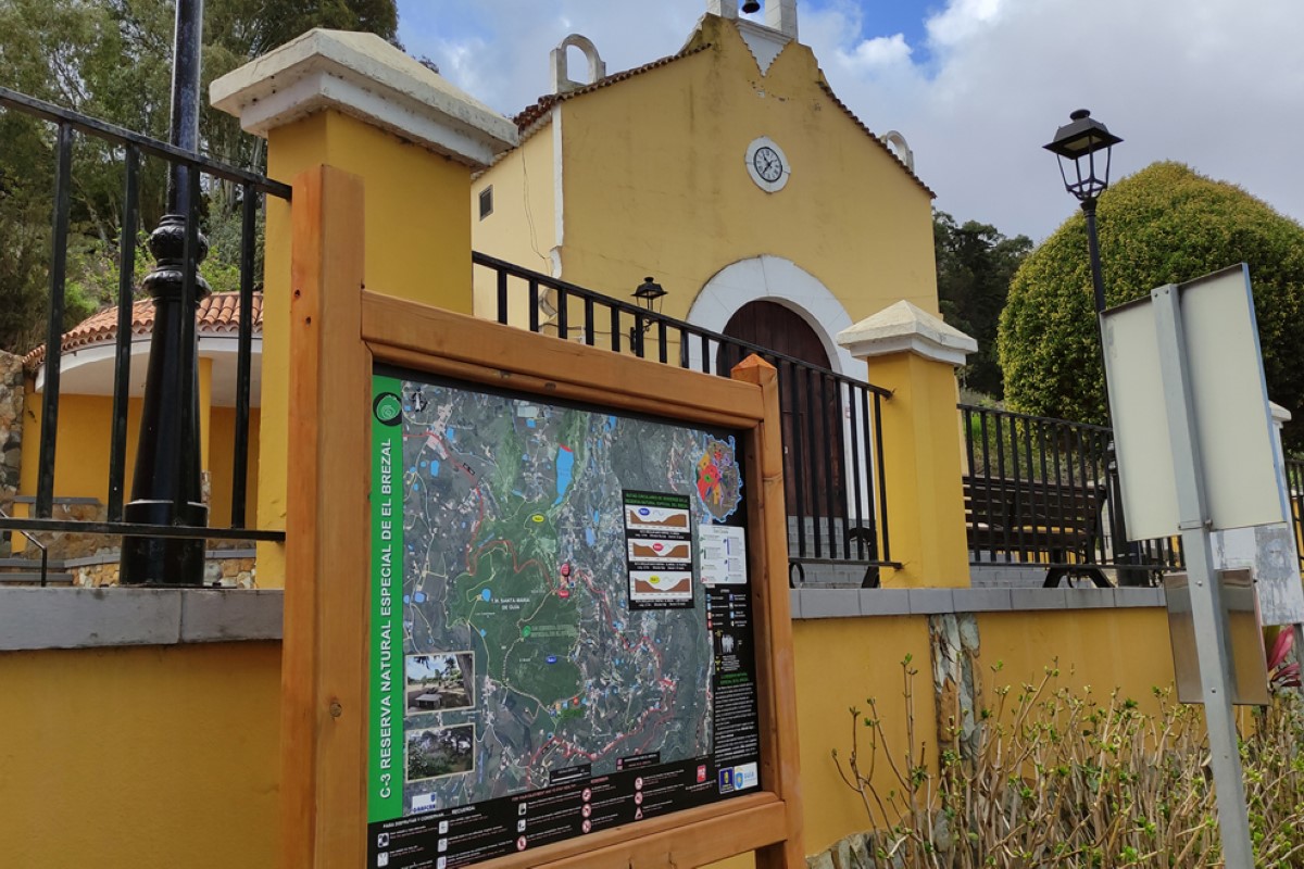
As it is a circular route and can be started in the recreational area of Santa Cristina, it is a family route and ideal for beginners, with the possibility of catering services in the bar of the recreational area. There are public transport stops nearby.
It is possible to follow the short (R1) or longer (R2) route, as it can be shortened by means of a track that crosses the circular route.
It connects with the S 08 Santa María de Guía-Moya trail.
It runs through the El Brezal Rural Park (C-03), in the municipality of Santa María de Guía, so the predominant vegetation is heather. There are also centenary Canary Island pines, eucalyptus, fayas and strawberry trees. A large part of the route is in a wooded area, so there is plenty of shade.
It is an area with numerous crossed paths that make it easy to lose the route since it lacks signposting, so the use of GPS is required to be able to do it or to have good spatial orientation.
As it is a circular route and can be started in the recreational area of Santa Cristina, it is a family route and ideal for beginners, with the possibility of catering services in the bar of the recreational area. There are public transport stops nearby.
It is possible to follow the short (R1) or longer (R2) route, as it can be shortened by means of a track that crosses the circular route.
It connects with the S 08 Santa María de Guía-Moya trail.
Imagen principal
Distancia
2.00
Desnivel positivo
63.00
Desnivel negativo
83.00
Altitud máxima
643.00
Altitud mínima
497.00
Galería de imágenes
Archivo KML
SL02GUIAR1.kml (11.29 KB)
Ubicacion donde empieza la ruta
28.104448378062, -15.599729056141
Horas de recorrido
0
Minutos de recorrido
30
Tipos de ruta
Tipos de circuito
Dificultad técnica